Remote sensing on demand
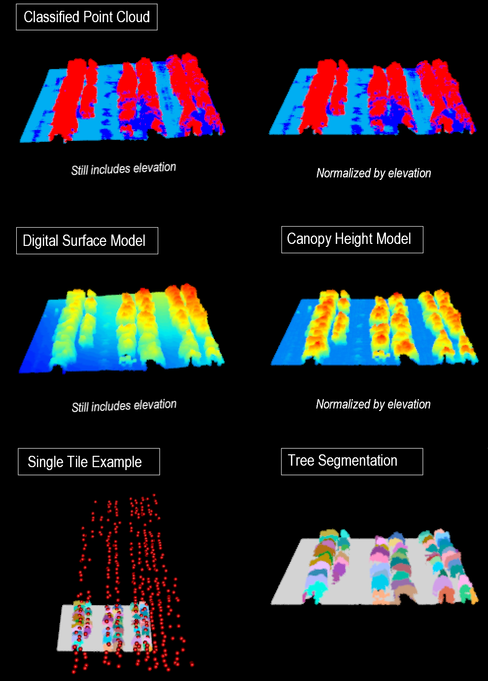
Drone piloting & mission planning + Remote sensing for science applications + Data collection for researchers, agriculture, and growers + Data processing + VisualizationAnalysis-ready products for science applications
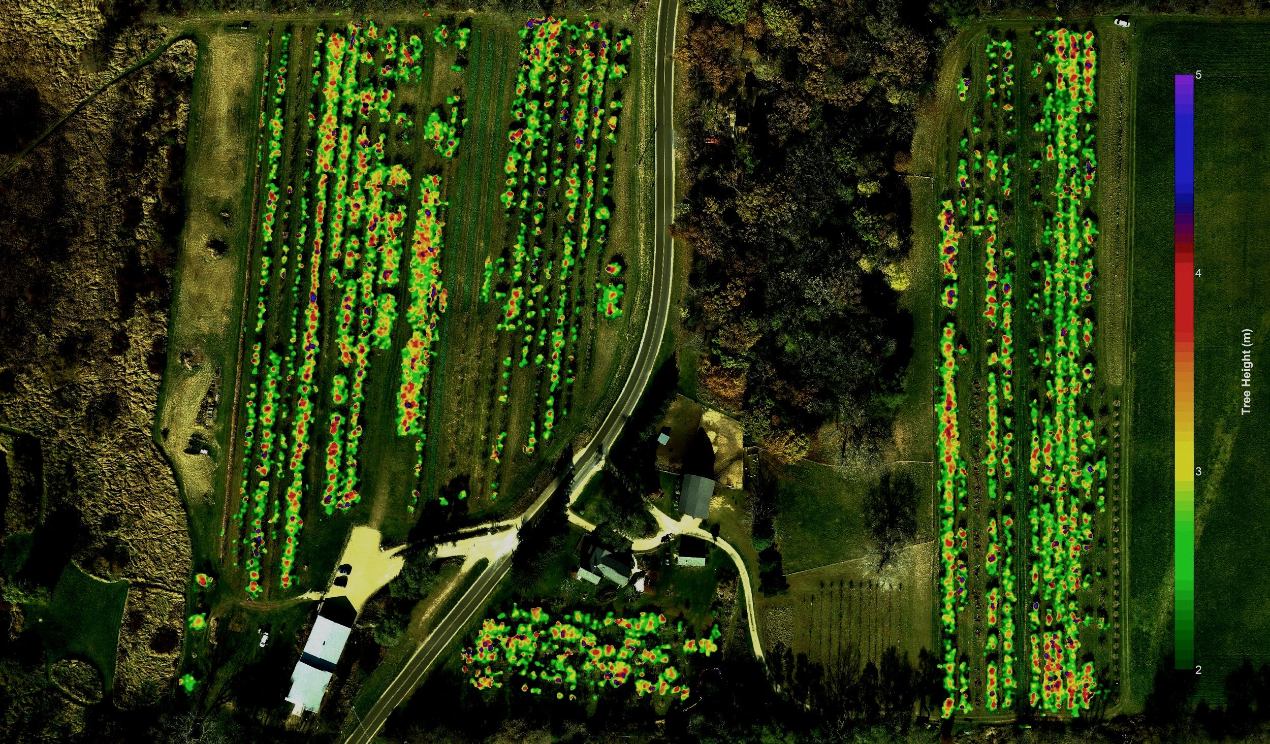
It’s easy to get aerial imagery, but it’s not easy to get actionable data. We have extensive experience with multispectral, hyperspectral, and LiDAR data collection for applied plant sciences.
Get a better understanding of plant health and productivity with aerial imagery. Structure, nutrients, yield, disease, spatial and resource efficiency and more.
Data for conservationists and agricultural professionals
Whether you just need a UAV/drone pilot for radiometrically calibrated imagery collection or if you’re looking for everything from data collection to post-processing of data (e.g., photogrammetry) into maps, we can help.
Consulting on image processing
Gathering your images is just one step in the process. We can process your imagery, but we can also work with you or your team to design a workflow that suits your needs.
Support for your remote sensing programs
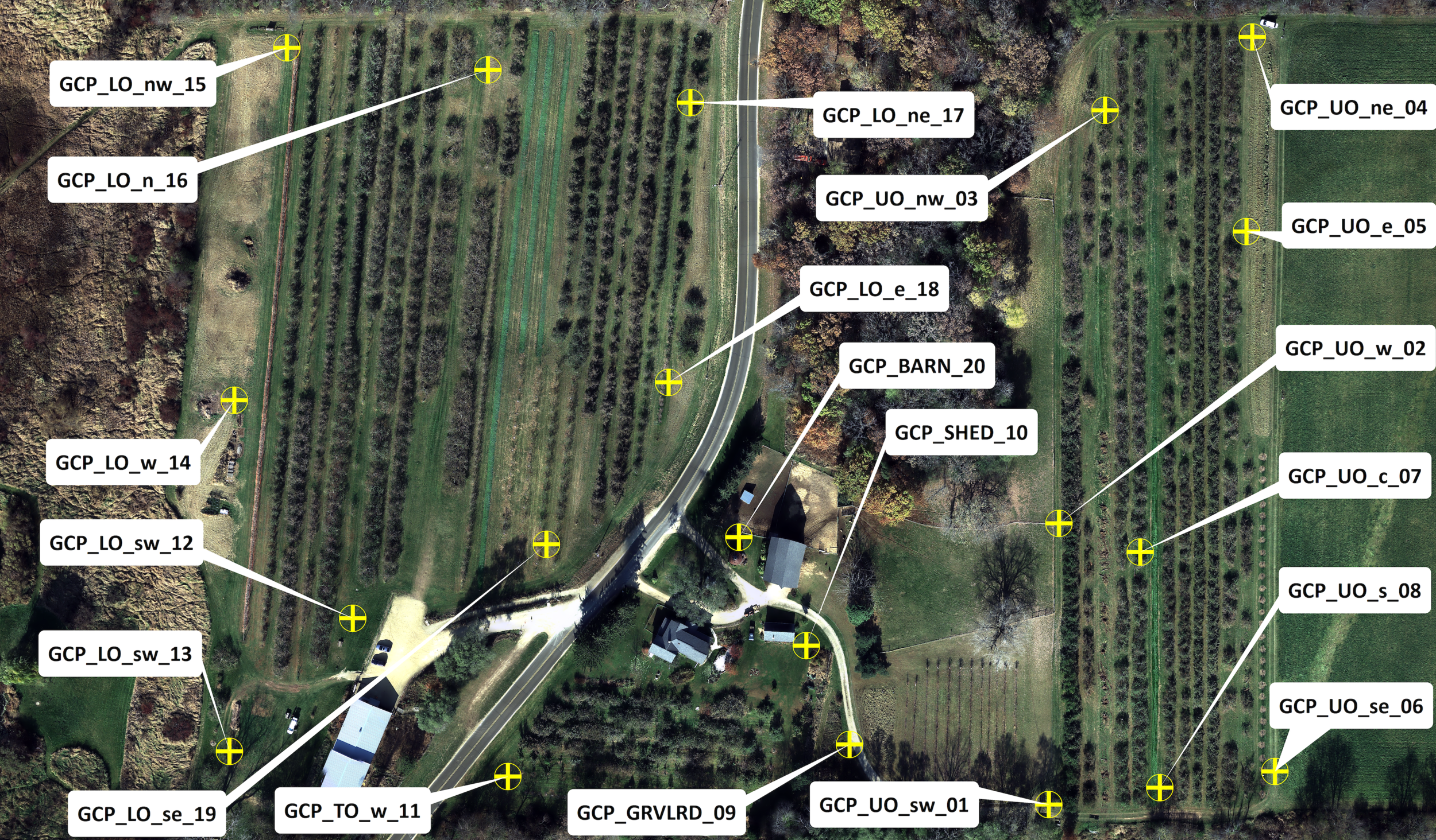
Consulting on data collection for all remote sensing systems—aircraft platforms, drone platforms or any other novel applications. We’ll help you assure you’re collecting the appropriate GIS data, calibrating effectively, and efficiently mission-planning.
Contact
Feel free to contact us with any questions.
Email
contact@motasyns.com


