Getting quality data isn’t simple.
The explosion in popularity of easy-to-use drone technology means it’s simpler than ever to get aerial imagery. The problem?
Not all drone operators have experience in remote sensing. You get imagery, not data that can be effectively compared across space and time.
Scientists need measurements, not just pictures. That’s where the discipline of remote sensing comes in.
We have years of experience closely collaborating with leaders in using aerial and terrestrial means to capture high quality, usable data for plant science applications.
We understand the technology as it applies to scientific applications. We craft methodology that enhances the integrity of your science.
We help you gather data that can stand up to peer review.
Services:
Data flights
Mission planning
Data processing
Support and training
Software & operational workflows
Data handling & analysis with R or Python
Specialized in multispectral, hyperspectral, and LiDAR data
Typical Products:
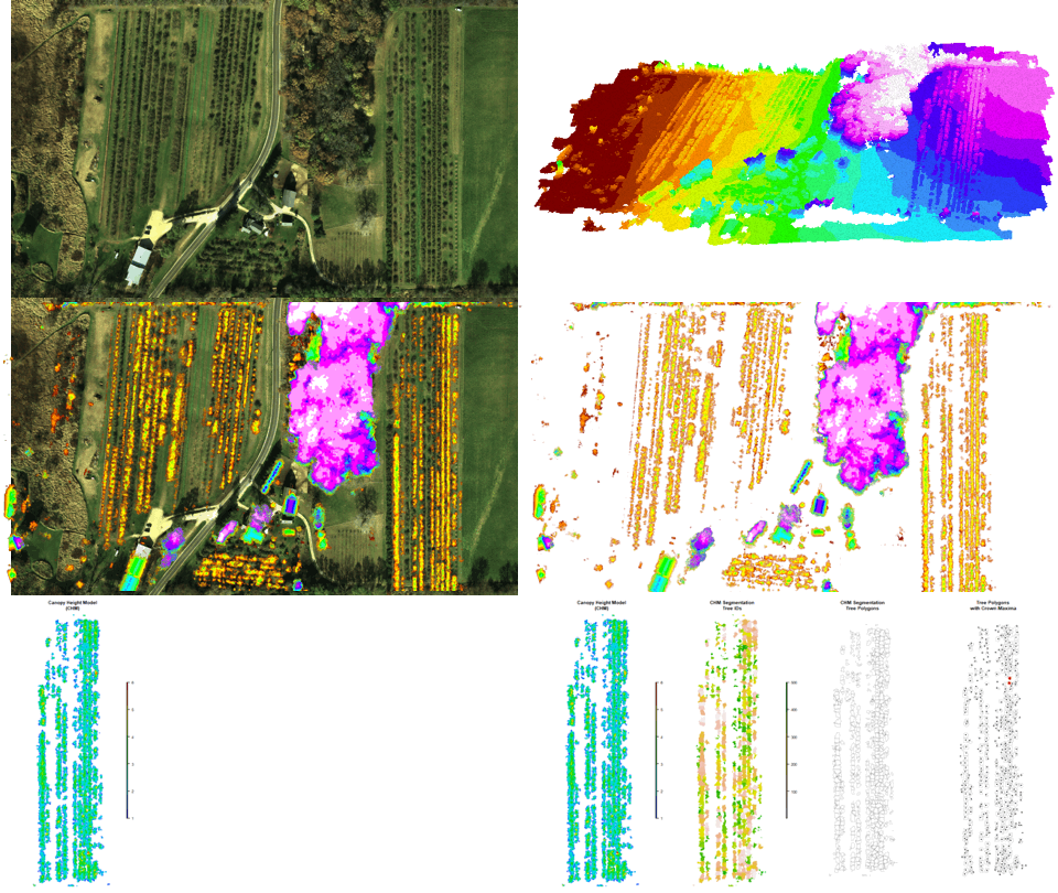
3D photogrammetry point clouds
Orthorectified imagery mosaics
DEM - Digital Elevation Models
DSM - Digital Surface Models
LiDAR point clouds
Spectral indices from multiband imagery
These lists just scratch the surface.
Please contact us for a free consultation for specifics on how we can help you get the data you need.

